Author, photo by Neelendra Singh
Well after two months on the Ganges river the time is now at an end. We are leaving here holy banks for a new river. Off to the Tons river tomorrow. Looking forward to new adventures on a river river, in a new area of India. As I am signing off on this area, I will leave with some pictures take from the season here. Look forward to posting some photos and stories in a few months time about that area.
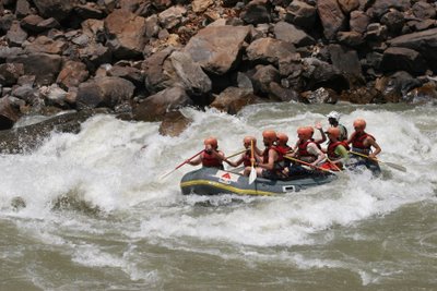
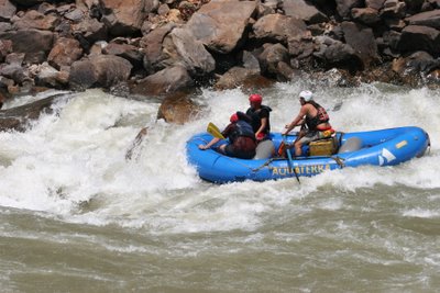
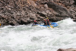
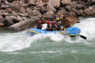
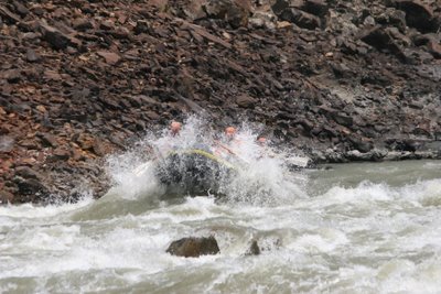
Bheem smashing his raft through the top wave of Golf Course, Ganges river
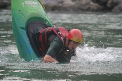
Author bow stalling InaZone 240 at Aquaterra camp, Ganges river. Photo by Neelendra Singh
Bheem in the midist of it Golf Course rapid, Ganges river.
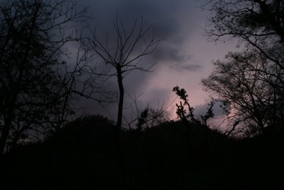
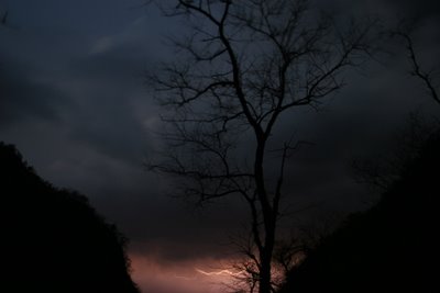
Lighting storm, bank of the Ganges river, India
Bolts of lighting down the valley toward RIshikesh.
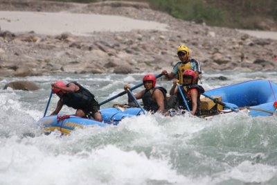
Eliane running the guts of the wave at Golf Course, Ganges river.
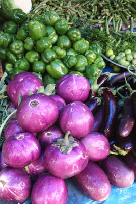
Vegatable Market, Rishikesh, India
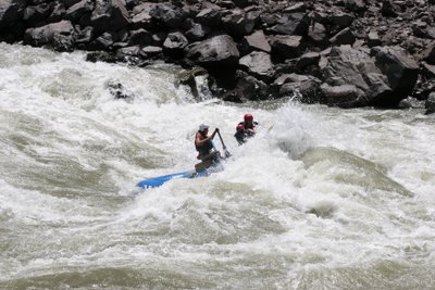
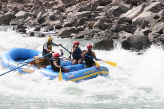
Kieran running the last big hit in the Wall rapid, Ganges river.
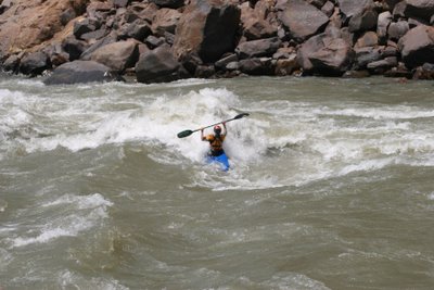
Kieran heading down the Ganges river
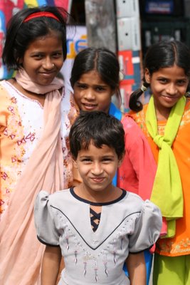
Young school girls in Rishikesh.
Photos by David Prothero
Sunday, April 30, 2006
Wednesday, April 26, 2006
Paddling the Upper Alaknanda and Mandakini Rivers
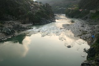
View of Alaknanda river from bridge in Rudraprayag.
A couple of weeks ago myself and Nick Clegg had an opportunity to get away from the Ganges river and head off on a bit of a paddling mission. We had heard from other people that this was a nice area to explore. With boats in hand, we headed off for the 8hr bus ride to Chamoli up in the Garwahli Himalayas. After arriving in Chamoli we checked into Hotel Heaven for the night, deciding to head up to the next town on our map in the morning. This turned out to be a bit of a mistake as we ended up a ways above the river. Heading back down stream for 8kms we made it close to the river. Putting in we ended up paddling 22kms of grade3-3+, with one 4 at the end in Nandaprayag. After finishing up there we loaded up and made are way back down to Rudraprayag. We ended up befriending a chai shop owner who helped us get set up with a small room over looking the Alaknanda river for 100 ruppes. The next morning we headed off to Chandrapuri in a share jeep. After about an hour of driving we made it the 28kms to the put in. We had an excellent view of Kedarnath(6940m). The next 28kms of paddling was awesome. Boat scouting a few sections of 3-3+ with a couple of 4's thrown in. Took us around four hours to get down with some stops for picture taking and rest breaks. Making the carry back to our little hotel in Rudraprayag, we settled down to a few cups of chai and after a afternoon of playing handball with a group of kids, a very good dinner of butter rotis, potato curry, rice and dal. Next morning we loaded up in a bus for the 5hr drive back to base. Since being there I have learned about some other rivers in the area. If you continue up to Josimath, there are some sick rivers. There is also the Pinder river at Karanprayag, the Nandakini river at Nandaprayag and you can go further up the Manadakini river to Kune to get a bit more whitewater.
Great trip. Check out the photos below.
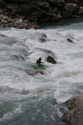
Nick Clegg running a drop just above Chamoli, Alaknanda River.
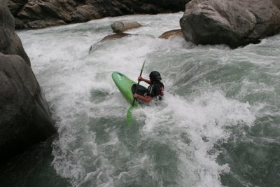
Nick Clegg running the left line on the falls at Nandaprayag, Alaknanda River.
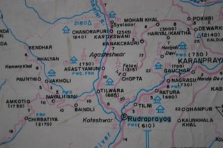
Map of the Manadakini River, from our our put in at Chandrapuri to the end at Rudraprayag.
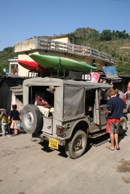
Shuttle par excellence, India Styles.
View at the put in, Chandrapuri.
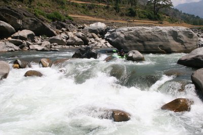
Nick Clegg manouvering between some nice boulders above the canyon.
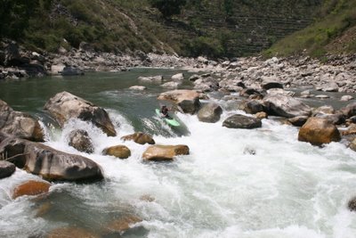
Nick Clegg flying over one of the nicer drops on the canyon section of the Manadakini river.
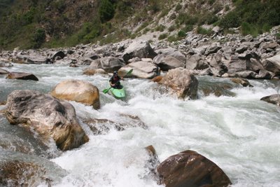
Nice grade 3 rapid down in the Manadakini river.
Photos by David Prothero.
Monday, April 24, 2006
Rafting the Ganges
Gappu rafting into the first mouse
For the past two months I have been working as a guide for a company in India called Aquaterra Adventures on the Ganges river. I now have some photos from the major rapids that we encounter on a 24km section of river. This seems like a good time to add them, as after next week we are working on a new river till the end of June called the Tons.
The time here has passed by quite quickly. In another post you will find info on another trip that myself and Nick Clegg did on the Upper Alakanada and the Mandakini river up in the Garwahli hills.
The Ganges is a long river. From it's source in Gangotri it stretches approx 2496kms to the coast, which makes up for an area of 1 million sq kilometers including the tributaries. During this time it plunges over falls and through large rapids down the Bahgarti river, though a stretch of this has now been tamed by a dam. After getting to Deprvayag it joins the Alakanada river to form the Ganges. For the next 60 or so km down to Kaudiyala the river is fairly mellow, however very senic. Upstream and down trough this section is where we run some multi day trips. After Kaudiyala is the first grade 3 in a while called Daniels Dip, four kilometers down stream is another grade 3-4(depending on flow) rapid called the Wall. From there it is pretty mellow again interspaced with some small grade twos. After Gular we have the 3 Blind Mice to provide some excitement. The bigger ones are in the final 12kms down to Rishikesh, below Shivpuri. These include Rollercoaster, Golf Course, Clubhouse, and Jail no Bail.
Once down to Rishikesh you have now entered the land of Yoga and Ashrams. Check out the nighttime religious festivals and head back to camp. Relax around a camp fire and enjoy some good food and then do it all over again over a couple of days. Not to bad, I say.
Monday, April 10, 2006
Kunjapuri Temple Trek
A few days ago I had the opportunity to do a trek above Rishikesh. Me and Eliane(guide with Aquaterra as well), left the base at 4:30am heading up the start of the track by head lamp at 5:30am. This turned out to be a good thing as it heated up later in the day. The valley follows a small creek for the most part, quickly leaving Rishikesh behind we wandered up past small farms that had small water delivarey systems to there terraced fields and wheat drying on the roof tops. Passing a varitey of different plants and and seeing some cool birds. This area has cactus, palm trees and decidious trees all fairly close to one another. The walk took us around three hours to climb from around 1400ft to about 6000ft. The view was awsome as you could see the plains lead into the foothills, where we are based and then in the distance you could see the massive frontal range of some of the Himialays. At the Top near the temple, there was an ever handy Chai shack with a nice family there. After a short break at the top we headed back down the same way to avoid the 24km bus ride, as we weren't sure about how often the buses/trucks were going. Doing the early start meant that we avoided the sun hitting us on the way up. Coming down in the sun shine was hot enough so I was glad at that. If you do it in the heat, take lots of water!!! Coming down was nice as well, provided a different prespective on things. There is an excellent office in Rishikesh to get some local beta. Try Red Chilli Adventure, www.redchilliadventure.com
Photos by David Prothero
Photo Subjects
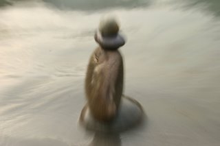
I recently learned a new photo technique from one of our guests so I have been fooling around with it fairly extensively for the past couple of weeks. This is one of the things that I love about digital photography. I have tried it out on a few different subjects, one of them being little rock carins built on the bank of the ganges.
This technique is selecting a central focus point, then a low shutter speed, like 1/5- 1/8 of a second. A stand is a good idea for steady shooting or very steady hands. As you take the shot zoom in on the subject and voila you get a pretty neat effect.
Photos by David Prothero
Subscribe to:
Posts (Atom)