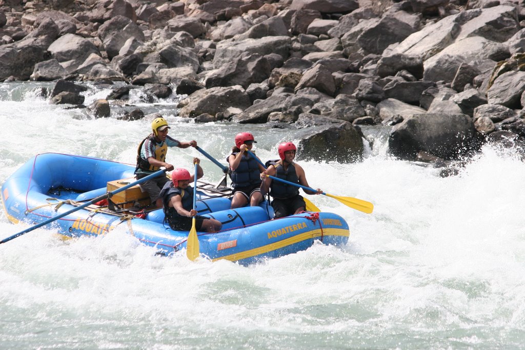
For the past two months I have been working as a guide for a company in India called Aquaterra Adventures on the Ganges river. I now have some photos from the major rapids that we encounter on a 24km section of river. This seems like a good time to add them, as after next week we are working on a new river till the end of June called the Tons.
The time here has passed by quite quickly. In another post you will find info on another trip that myself and Nick Clegg did on the Upper Alakanada and the Mandakini river up in the Garwahli hills.
The Ganges is a long river. From it's source in Gangotri it stretches approx 2496kms to the coast, which makes up for an area of 1 million sq kilometers including the tributaries. During this time it plunges over falls and through large rapids down the Bahgarti river, though a stretch of this has now been tamed by a dam. After getting to Deprvayag it joins the Alakanada river to form the Ganges. For the next 60 or so km down to Kaudiyala the river is
 fairly mellow, however very senic. Upstream and down trough this section is where we run some multi day trips. After Kaudiyala is the first grade 3 in a while called Daniels Dip, four kilometers down stream is another grade 3-4(depending on flow) rapid called the Wall. From there it is pretty mellow again interspaced with some small grade twos. After Gular we have the 3 Blind Mice to provide some excitement. The bigger ones are in the final 12kms down to Rishikesh, below Shivpuri. These include Rollercoaster, Golf Course, Clubhouse, and Jail no Bail.
Once down to Rishikesh you have now entered the land of Yoga and Ashrams. Check out the nighttime religious festivals and head back to camp. Relax around a camp
 fire and enjoy some good food and then do it all over again over a couple of days. Not to bad, I say.
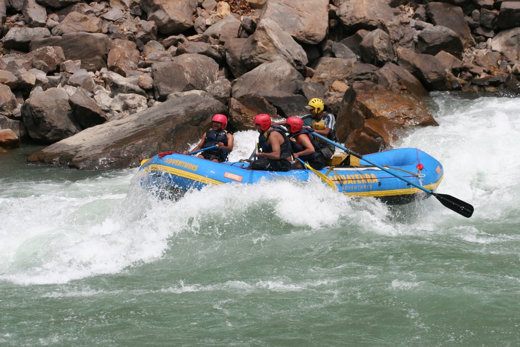 Gappu above the big wave in Golf Course
No comments:
Post a Comment